What we did (and how it grows)
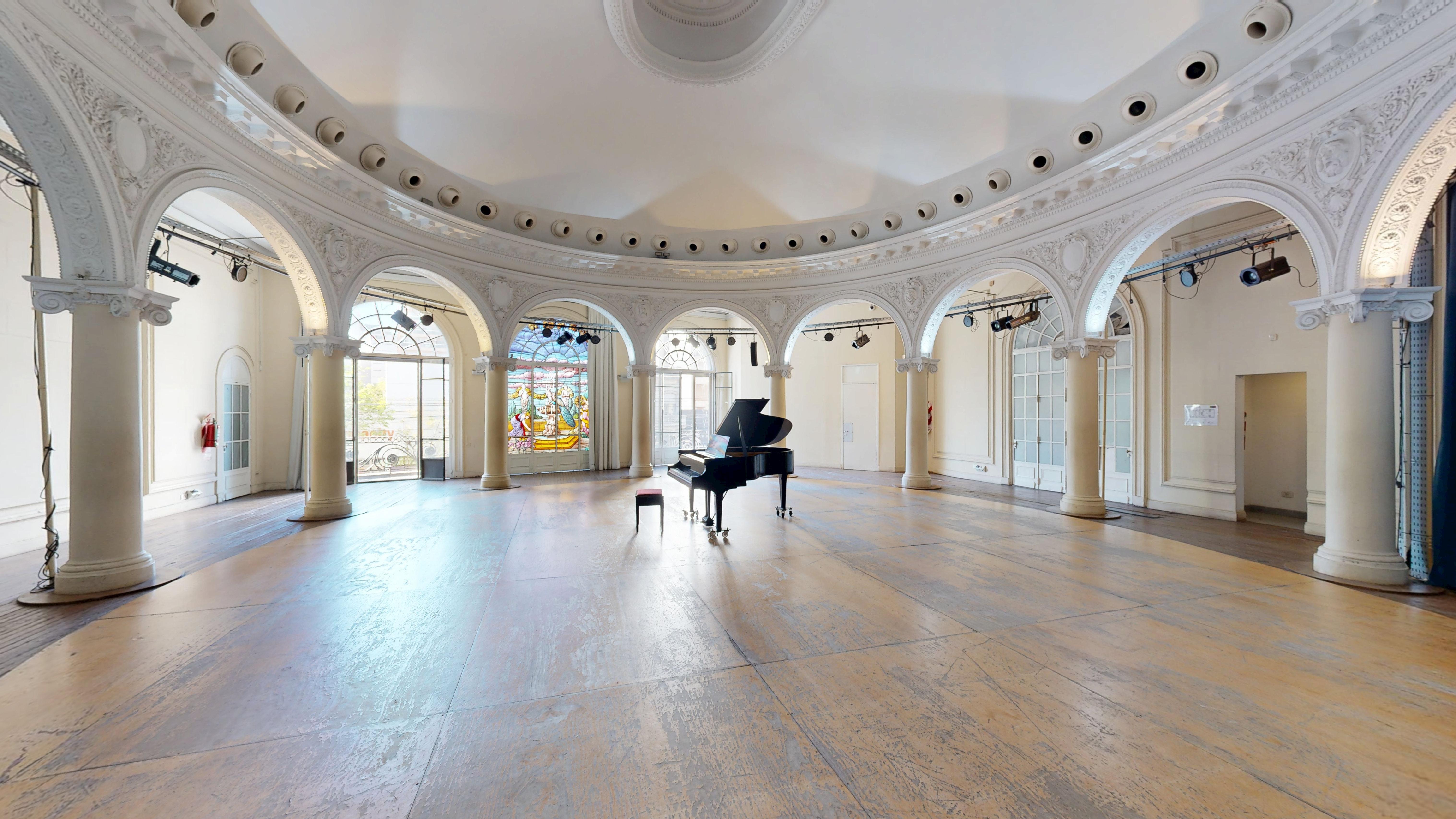
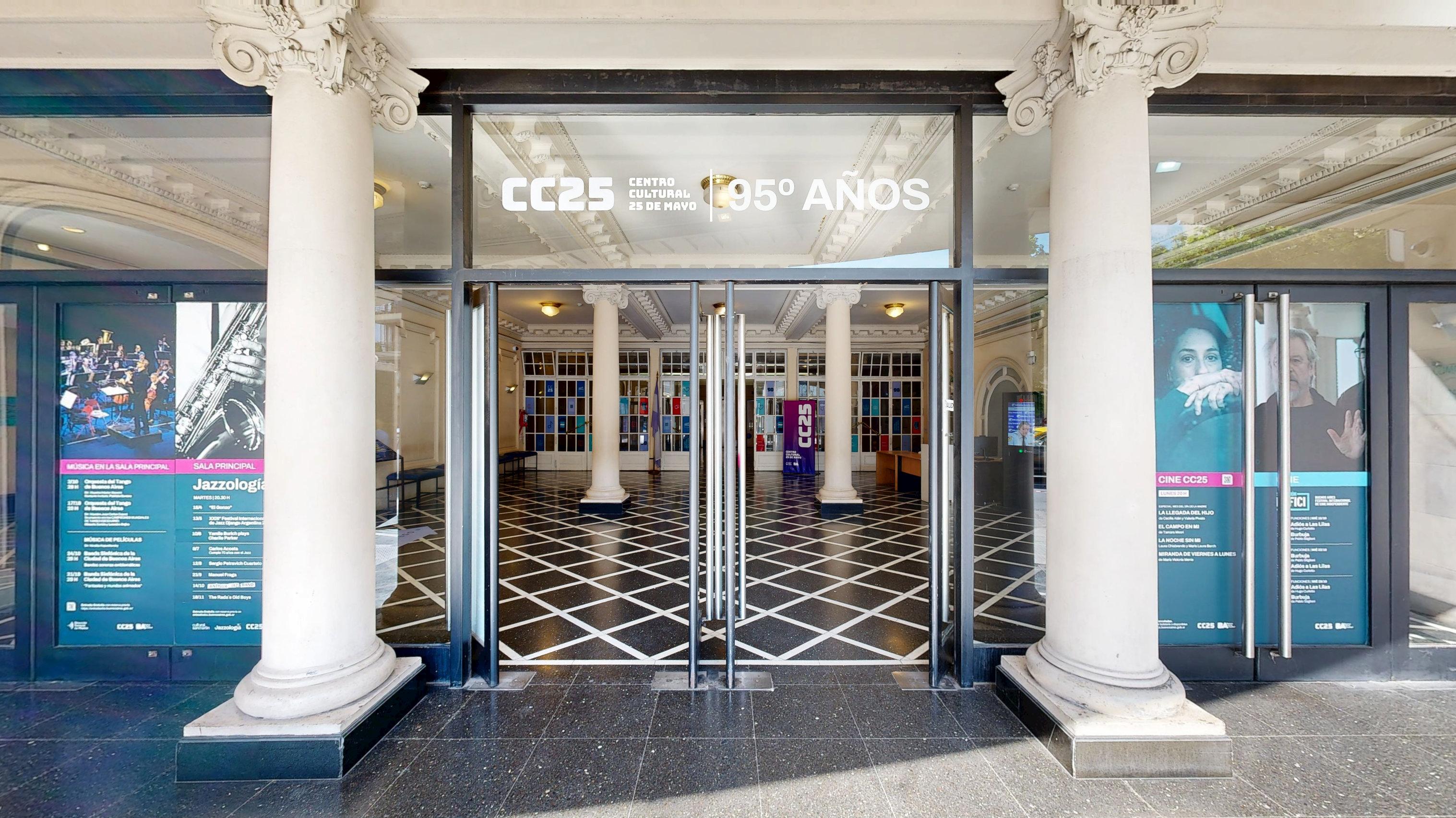
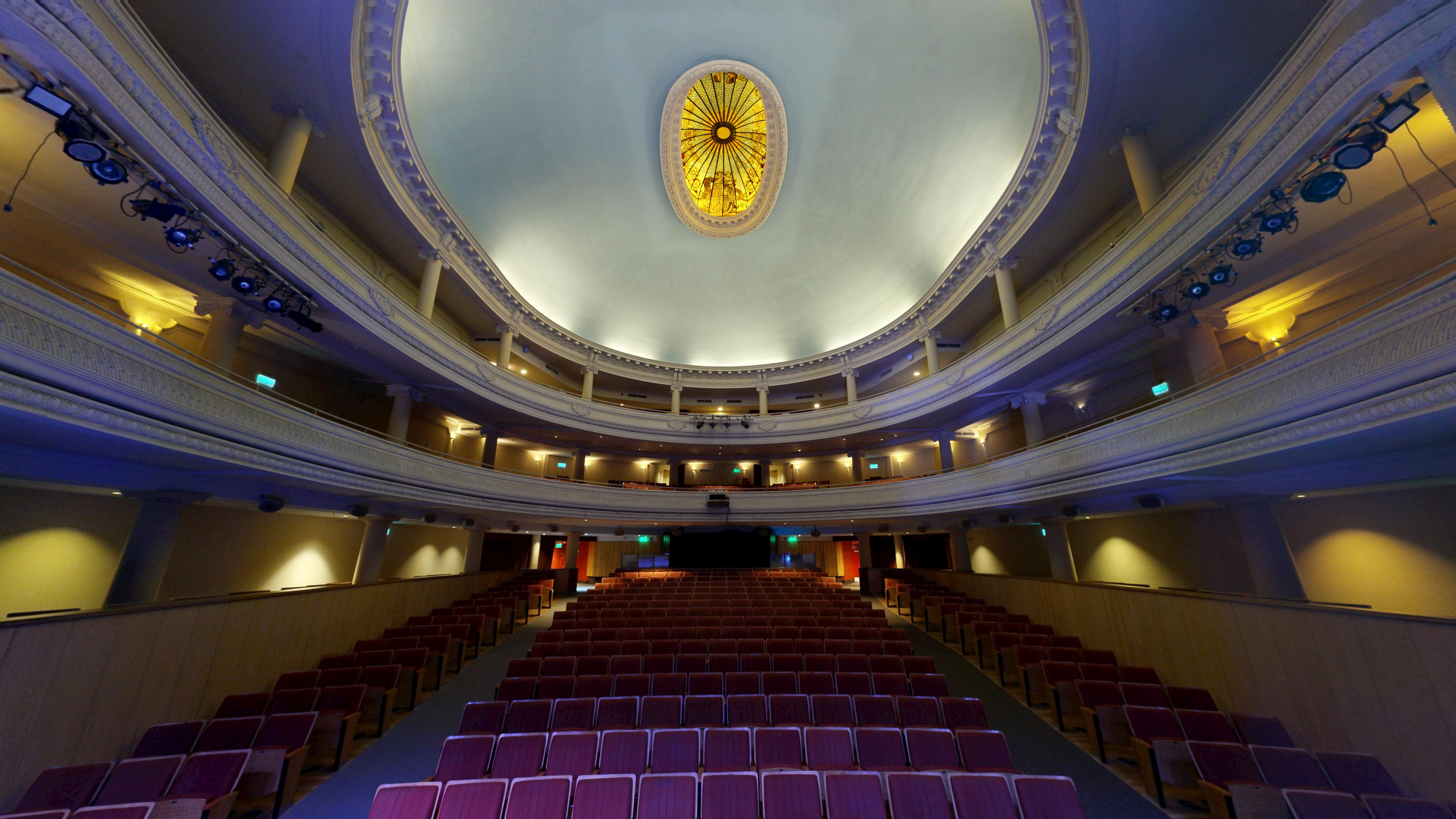
Buenos Aires has a huge cultural life. Museums, theaters, cultural centers, libraries, cinemas, historic buildings… but you can't always be there in person when you want.
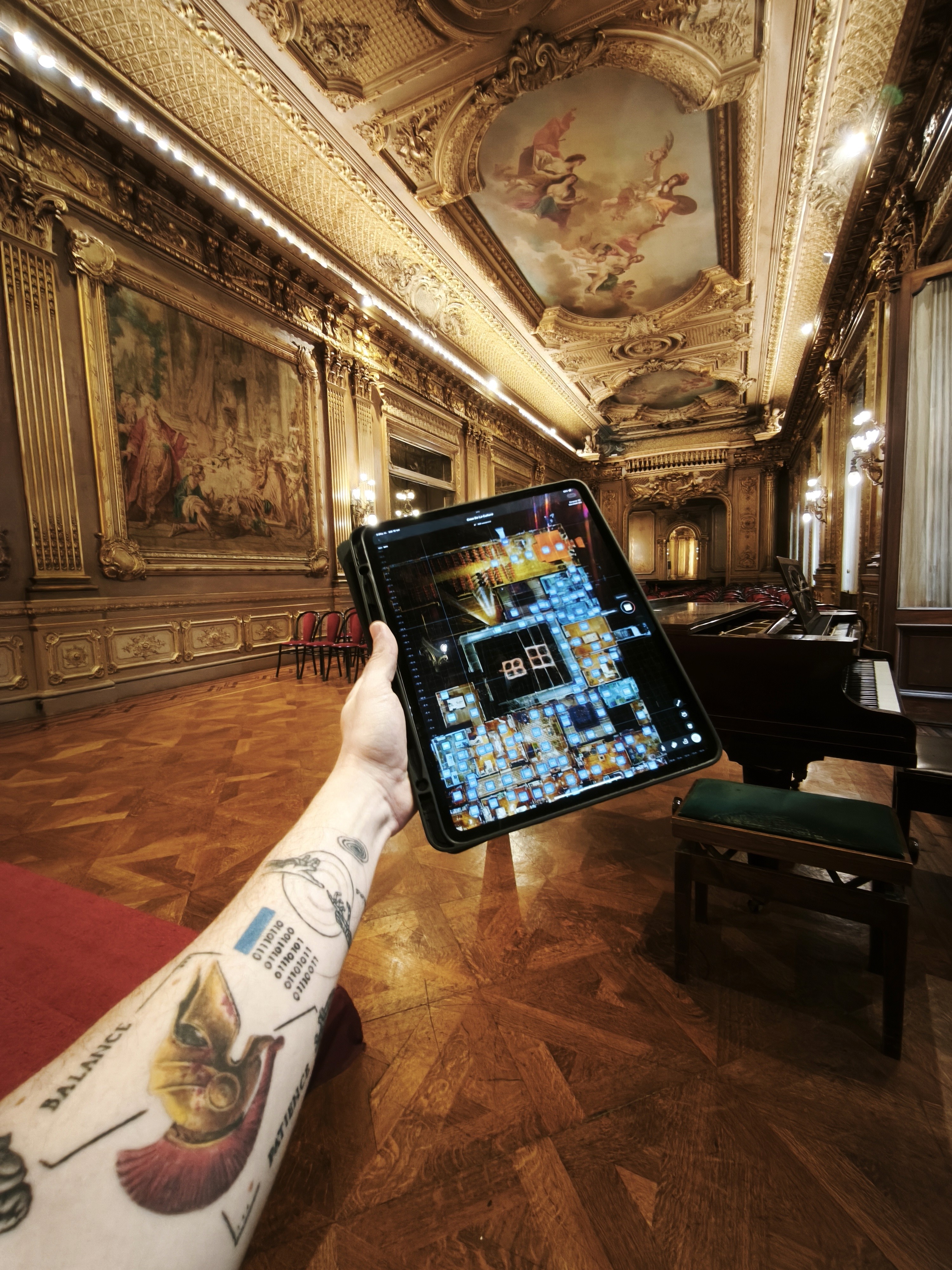
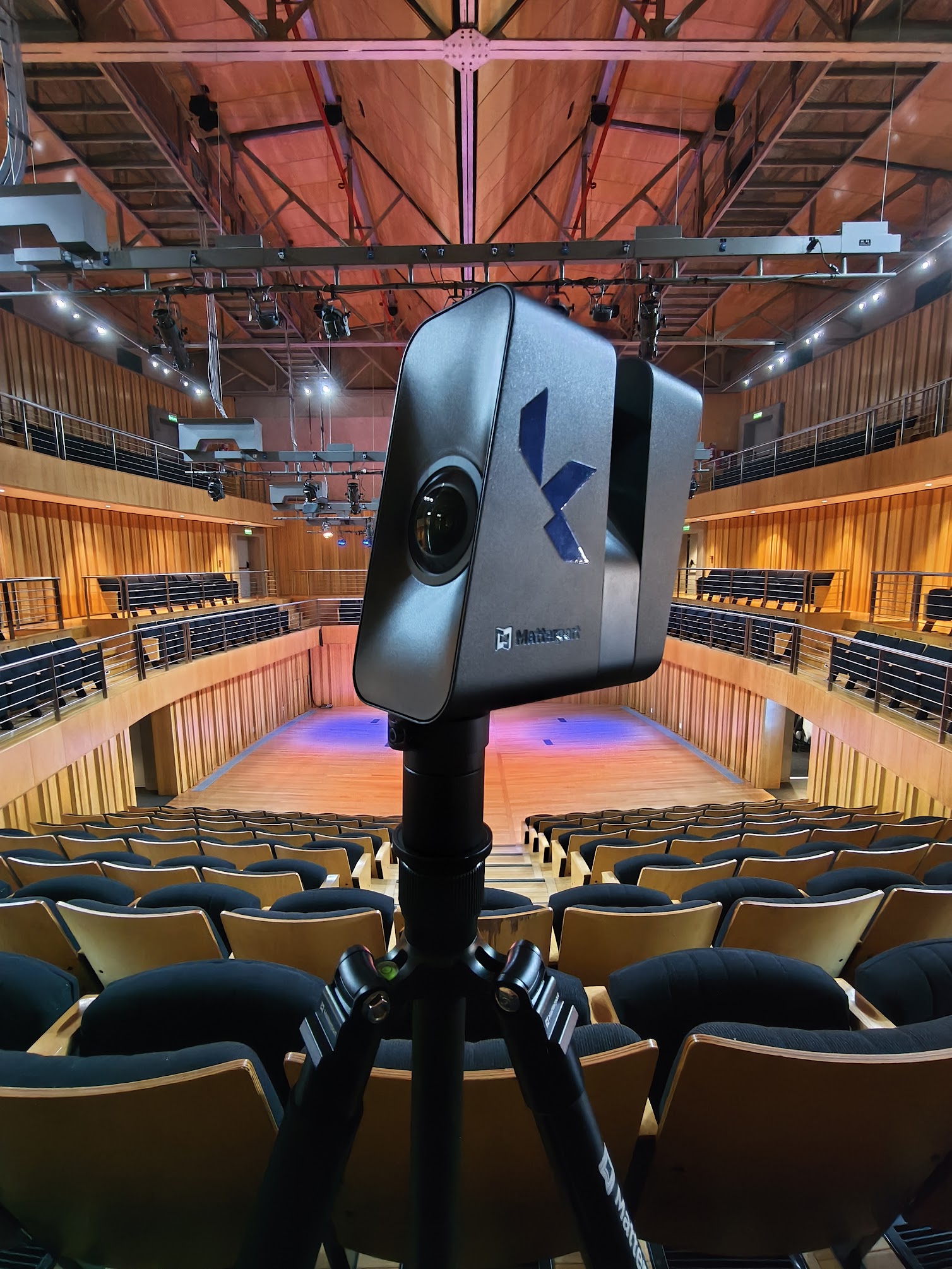
This project was born to bridge that distance: to digitize the cultural spaces of the City in 3D and make them accessible to anyone, from a cellphone or a computer.
What is it for?
One project, multiple uses: general public, education, institutions, and urban management.
People (visitors and residents)
Visit museums and theaters in 3D, discover new spaces, plan your visit or relive the experience. No apps or registration required.
Schools, teachers, and students
Locate rooms, works, and circulation. Talk about architecture, history, and art with clear and accessible visual support.
Cultural institutions
The 3D model is a calling card and support: it leaves a record of the state of the space and improves communication with audiences.
The City in the long term
Each scan adds to the digital record of the City. It serves to compare, plan, and care for spaces that change over time.
BIM: the technical layer of heritage
In addition to the 3D tours, we model some key spaces in BIM. It is the foundation for managing, maintaining, and planning interventions with better information.
A 3D tour opens the door to the public. A BIM model opens the technical conversation to better preserve the heritage over time.

What is coming
This map is not closed: the project is organized into 8 stages that will be developed and updated throughout all of 2026.
Add more heritage spaces from different neighborhoods of the City.
Update the platform with the new 3D routes and their corresponding cards.
Complete the eight stages, until reaching the set of more than one hundred planned cultural spaces.